Seeing Green:
How New Tools Help Us Measure Impact on Vegetation Vigor

July 23, 2024, 7:55am PDT • FIELD NOTES
A comprehensive strategy to monitor project impact and quality has to come at it from every available angle. We get close up, with site visits critical to conducting direct observation and engaging local communities and partners. And we get the larger, more holistic view by strategically adopting the latest technological innovations to help us see and understand what’s happening across all our project areas.
As part of that ongoing quest to find the best tools to help us monitor the progress and impact of projects in granular detail, we’ve entered into a multi-year partnership with Planet Labs, a leading provider of high resolution satellite imagery and geospatial data. With the help of quarterly Planet Basemaps of our project sites, we’ll be able to use 3-meter resolution surface reflectance data to track changes in vegetation vigor and landscape change.
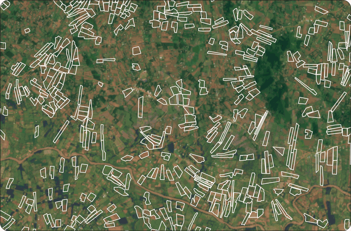
Surface reflectance basemaps leverage advanced processing techniques on imagery provided by PlanetScope — a constellation of approximately 130 satellites able to image the entire land surface of the Earth every day1 — to remove atmospheric effects, optimize pixel accuracy, and empower deep spectral and quantitative analysis.
Sounds impressive, but what does that all mean?
It allows us to more clearly see and understand what’s happening on the ground, providing a deep, detailed view of our project areas. Even more importantly, it allows us to monitor changes to landscapes and vegetation over time, which informs a host of critical analyses we conduct.
For instance, using surface reflectance maps we leverage near infrared bands, which vegetation strongly reflects, to calculate the Normalized Difference Vegetation Index (NDVI), a measure of the health and density of vegetation — basically, a way to see how ‘green’ an area really is.
Optical imagery and NDVI data over our project in Western Kenya allow us to clearly track ground surface changes over time. Image Attribution: Planet, 2024.
Armed with such detailed insights on vegetation vigor and ground characteristics, we compare the data year over year for the same season to monitor how a specific landscape is evolving. We then look at these yearly trends in conjunction with weather and other climate variables to not only see how vegetation is changing, but also understand what’s driving those changes.
As effective as this tool is on its own, we don’t use it in isolation — we gain even deeper insight by integrating it with many other advanced technological capabilities we’ve adopted as part of our project monitoring arsenal, giving us a much more holistic understanding of project impact.
By combining the information provided by these basemaps with the data on biomass obtained through our partnership with Chloris Geospatial, for instance, we create an even more powerful risk analysis tool. We monitor for potential indicators of leakage, reversals, and a host of other possible challenges that may arise — enhancing how we track the impact of projects in our portfolio, as well as evaluate potential projects as part of our comprehensive due diligence process.

Planet data, particularly NDVI, is used alongside biomass data provided by our partner Chloris Geospatial to fully evaluate biomass and vegetative change. Left: Planet Labs, 2024 ; Right: Basemap: Planet Labs, 2024, Biomass Data: Chloris Data © [2024] Chloris Geospatial Inc.
We then take all the key findings and potential risks from our geospatial analysis and use them to report on project progress, share critical insights in a visually engaging way, and help project partners evaluate vegetative change to develop risk mitigation actions — ultimately equipping us to measure, monitor, and maximize project quality.
And that’s what all these cutting-edge technological innovations really boil down to: as exciting and eye-opening as they are to use, we embrace them first and foremost as part of our steadfast commitment to quality and impact. Impact only matters if it’s real, and it can only be shown to be real if it's measurable. A big part of our job is using every tool we’ve got to demonstrate the powerful role carbon removal can play — and must play — in the global fight against climate change.
1Source: planet.com/products/basemap/

Jasmine Hansen, Ph.D.
Our lead geospatial scientist, Jasmine has worked in environmental sciences for over six years leading multiple NASA and CIRES funded research projects.
The Latest

"It's a Call
To Action"
Rob Lee Discusses the White House’s Major Vote of Confidence for Voluntary Carbon Markets
Cutting-edge bioacoustic monitoring technology lets us listen to wildlife and gain critical insights into a carbon project’s impact on local biodiversity.

ENGIE and Catona Climate join forces to scale supply of nature-based carbon removals.

Regenerative agriculture uses more sustainable farming practices that improve soil health and sequester more carbon at the same time.
